Nature Reserves -Enjoy Nature’s Playgrounds where the Wild is all about Fun
Kogelberg Nature Reserve
- Kleinmond
Contact Number 0872880499
- https://www.capenature.co.za/reserves/kogelberg-nature-
- Adults - Day Access = R60
- Children - Day Access = R40
Limited parking at the start of trails is available on a first-come, first-served, basis.
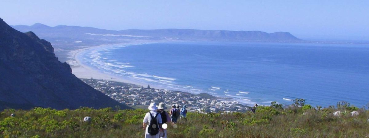
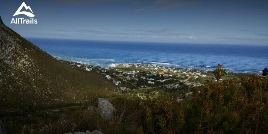
Considered by many to be the most beautiful of Cape Nature’s protected areas, Kogelberg Nature Reserve earns that reputation largely due to the fact that it occupies an area with minimal human interference. Its exceptional diversity and quality of fynbos means it is considered the heart of the Cape Floral Kingdom. The reserve presents perhaps the finest example of mountain fynbos in the Western Cape and is a world-renowned World Heritage Site.
Birding
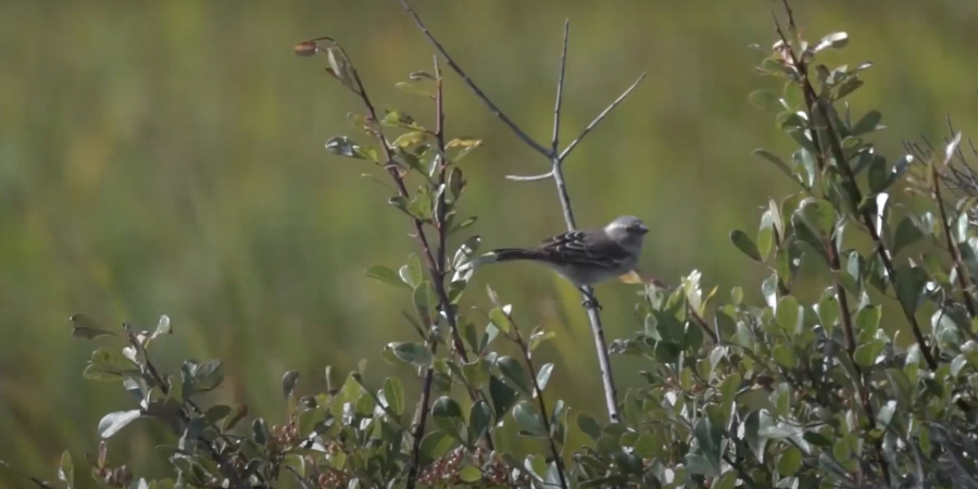
Kogelberg is a bird haven for numerous species and a bird list can be requested at the reserve office. A boardwalk and bird hide is available on Rooisand Ramble. There is one small step at the start of the boardwalk. Visit Stony Point, part of the Marine Protected Area, where you can see the African penguin colony. Entrance to the Stony Point area is R30 per adult and R20 per child over the age of 3 years, payable at the gate.
Rooisand Nature Reserve is about 12 12-kilometer drive from Kogelberg Nature Reserve on the R44 towards Arabella Estate.
Hiking Trails & Walks
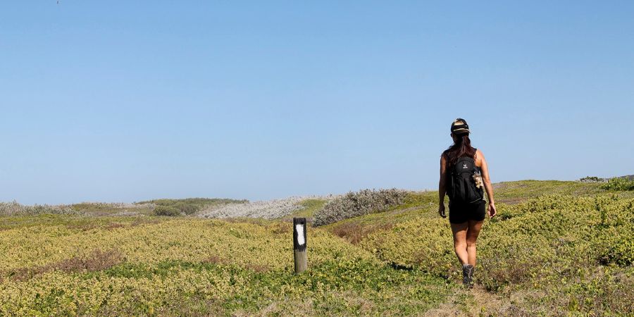
In Kogelberg Nature Reserve, visitor numbers are limited, and low-impact activities that are compatible with the wilderness atmosphere are encouraged. Hikers have several options and should be prepared for fairly rough terrain and unpredictable weather. It is essential that hikers wear closed shoes while hiking in the Kogelberg.
Hiking Trails:
Various day hikes are available at R60 per adult and R30 per child. Permits may be purchased at the reserve office or bookings can be made via the Cape Nature Central Reservations office.
Palmiet River Walk
The Palmiet River Walk is an easy venture along the Palmiet River
Trail distance: 10 km
Estimated time: 3 hours
Trail Preparation: Wear comfortable walking shoes, sunscreen, and a hat. Make sure to carry sufficient water and take along your swimwear and binoculars. In winter, a raincoat/pancho is advised. It’s recommended that the route is started no later than 14h00.
Swimming is permitted on the Palmiet River Walk at the demarcated swimming spots. We politely ask hikers to only swim at these designated swimming spots for their own safety and refrain from going off-trail to swim
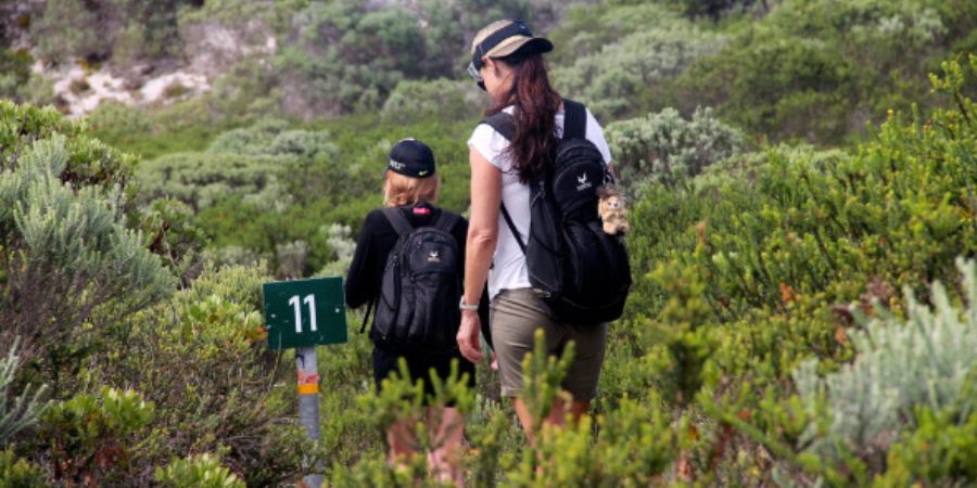
Oudebosch-Harold Porter
This is a moderate hike up Oudebosch Gorge into Harold Porter Botanical Garden.
Trail distance: 6 km
Estimated time: 3 – 4 hours
Trail Preparation: Wear comfortable walking shoes, sunscreen, and a hat. Make sure to carry sufficient water and take along your binoculars. In winter, a raincoat/pancho is advised.
A vehicle should be left at Harold Porter Botanical Gardens as this is a one-way route. Guests also have the option to backtrack on the trail after reaching the waterfall at the top of Oudebosch gorge. It is recommended that the route is started no later than 14h00 as the gate at Harold Porter Botanical Garden is locked at 18h00 if hikers choose to do the full hike.
Kogelberg Trail
This is a moderate to long walk along Oudebosch Gorge passing through the Oudebosch montane forest patch and passing in close proximity to the Platbos and Louw’s Bos Montane forest patches.
Trail distance: 24 km
Estimated time: 8 hours
Trail Preparation: Wear comfortable walking shoes, sunscreen, and a hat. Make sure to carry sufficient water and take along your binoculars. In winter, a raincoat/pancho is advised. It is recommended that the trail is started no later than 10h00 in summer and 08h00 in winter.
Perdeberg Trail
This is a moderate to long walk starting from the Iona Wine Estate to Perdeberg Peak lookout point.
Trail distance: 22km
Estimated time: 7 – 8 hours
Trail Preparation: Wear comfortable walking shoes, sunscreen, and a hat. Make sure to carry sufficient water and take along your binoculars. In winter, a raincoat/pancho is advised. It is recommended that the trail is started no later than 10h00 in summer and 08h00 in winter.
Three Sisters Trail
This is a moderate walk starting from the Kleinmond Golf course.
Trail distance: 8km
Estimated time: 4 hours
Trail Preparation: Wear comfortable walking shoes, sunscreen, and a hat. Make sure to carry sufficient water and take along your binoculars. In winter, a raincoat/pancho is advised. It is recommended that the trial is started no later than 13h00.
No permits are required for this trail, as it starts and ends on municipal property. Parking is available at Kleinmond Golf Course.
Houwhoek Trail
This is a moderate walk starting from the Houwhoek Inn
Trail distance: 8km
Estimated time: 3 hours
Trail Preparation: Wear comfortable walking shoes, sunscreen, and a hat. Make sure to carry sufficient water and take along your binoculars. Permits are to be purchased via Cape Nature Central Reservations, Houwhoek Inn, or the reserve office before the hike. In winter, a raincoat/pancho is advised. It is recommended that the trial be started no later than 14h00.
Rooisand Ramble
This is an easy walk along the Rooisand boardwalk at the Botriver Estuary.
Trail distance: 5km
Estimated time: 2 hours
Trail Preparation: Wear comfortable walking shoes, sunscreen, and a hat. Make sure to carry sufficient water and take along your binoculars. Permits are to be purchased via Cape Nature Central Reservations or the reserve office. In winter, a raincoat/pancho is advised. It is recommended that the trial is started no later than 15h00.
Mountain Biking
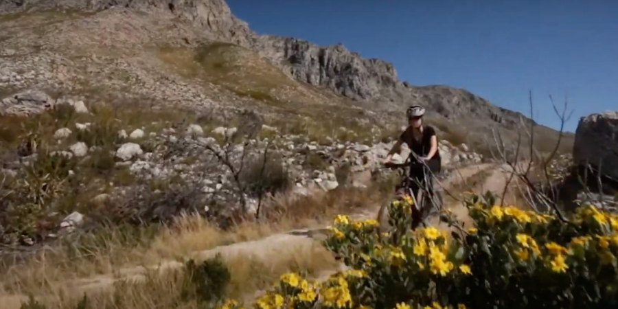
A moderate 22km ride along the jeep track through the Kogelberg Valley starts at the reserve office. The route should take between 2-4 hours. Please use sunscreen, and protected riding gear and make sure you have plenty of water on the trail. Permits can be purchased from the reserve office.
Please note mountain bikers must be wearing helmets at all times.
White Water Rafting
White water kayaking is allowed each year on the Palmiet River. Bookings for white water kayaking can be made through outside operators.
Gravity Adventures, a certified river operator, is permitted to take members of the public on the river.
Their trips are designed so that they can offer clients an exciting experience in both seasons and enable them to run all year round.
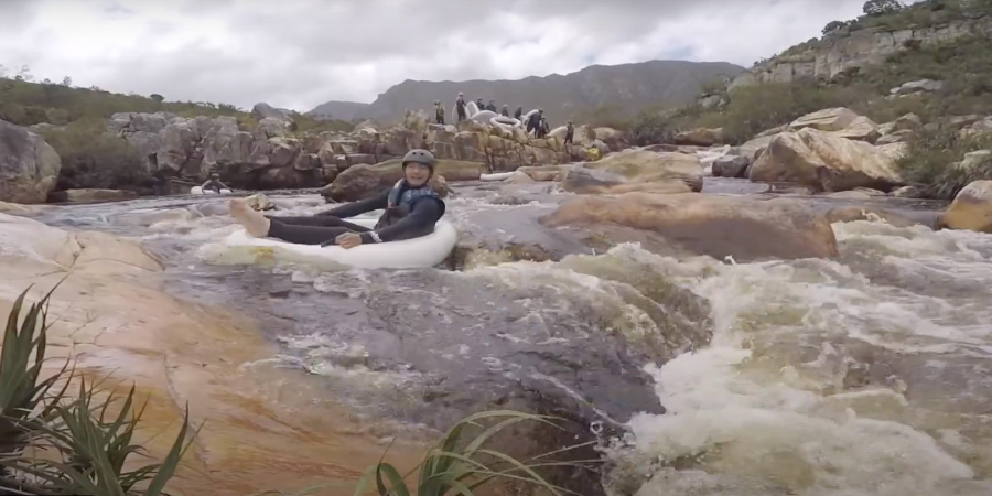
At medium and high water levels Gravity offers thrilling white-water rafting in two-person inflatable 'crocodiles’ or four-person rafts, and at low levels, they offer tubing trips on inflatable 'geckos'.
This innovative inflatable craft has been specially developed for the Palmiet. If used in a reclining position, it provides a comfortable way to drift lazily along the pools and channels of the river and if used facing forward, an exciting way of tackling the small rapids.
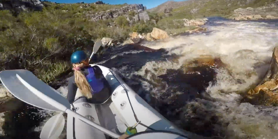
The Palmiet River Experience is suitable for all ages and skill levels - Gravity provides qualified and registered guides with an intimate knowledge of the river and its environment and instruction on how to steer your craft. Gravity supplies you with wetsuits and all safety equipment for the trip. Please bring towels, dry clothes, and closed shoes or booties.
To book, please contact Gravity Adventures, click here.
How to get to Kogelberg Nature Reserve
From Cape Town, take the N2 north. Just before Sir Lowry's Pass, turn right onto Sir Lowry's Pass Road. At the T-junction in Gordon's Bay, turn left onto the R44, following the road along the coast, past Pringle Bay and Betty's Bay. Just before you reach Kleinmond you will see the sign for Kogelberg, taking the dirt road to the left.
Kogelberg Nature Reserve contact information
Reserve office hours: 07h30 – 16h00
Gate Times:
April – August 07:30 – 18:00
September - March 07:30 – 19:00
Emergencies:
Report any emergencies to the Kogelberg welcome centre during daytime hours, and the overnight security located in the trailer at the welcome centre – during nighttime hours.
Accommodation and permit bookings Tel: 087 087 8250
Cell phone reception: No reception, The last reception point is at the turn from the tar road onto the gravel road.
GPS: 34 19 21.0 S 18 57 58.2 E
Fernkloof Nature Reserve
- Hermanus
- 028-3130819
- https://www.fernkloof.org.za/
- https://www.fernkloof.org.za/index.php/home/about

Fernkloof Nature Reserve covers 18 square kilometers in the Kleinrivier Mountains in Hermanus and ranges in altitude from sea level to 824m.
The name of the principal vegetation type of this region, fynbos, is derived from the Dutch word 'fijn bosch' which is the collective name for a myriad of evergreen shrub-like plants with small firm leaves, often rolled - but also includes woody plants with hard leathery leaves, usually broad, often rolled.
The prevailing climate is Mediterranean with cold wet winters and hot dry summers with strong south-easterly winds.
The Fernkloof Nature Reserve comprises 0.002% of the Cape Floral Kingdom but contains 18% of its plants in just 18 square kilometers. There is no other place on earth where so many different species can be seen growing in such close proximity.
Hiking Trails & Walks
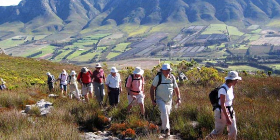
Walking trails
· A 60 km network of paths traverses the Reserve.
· Maps at R20 and brochures are available at the Visitors’ Centre or the Fernkloof Nursery.

· The color-coded paths are well-graded and signposted. Occasional benches allow for rest and an opportunity to enjoy magnificent views over Walker Bay.
· Choose from paths that take you to the heights of Aasvoelkop at 824m or follow the lower level contour paths that take you from Vogelgat Nature Reserve in the east through to Rotary Way in the west.
· A popular walk for youngsters is the 800m path from the Visitors’ Centre to the waterfall. This also follows a stream through a narrow stretch of forest. There is a bench by the little waterfall and a forest pool.
· Dogs must be kept on a lead at ALL times and are only permitted on the lower path BLUE route.
Cycle
The Hermanus Cycle trail leads east from the Fernkloof Gardens, crosses the Mossel River, and runs above Voelklip turning south and west again at the Vogelgat boundary.
Contact Hermanus Cycles: +27 (0)82 9323938 (Office Hours)

Fernkloof Nature Reserve gardens
Picnic and walk in the landscaped Nature Reserve gardens, a tranquil alternative to hiking. Most of the paths are wheelchair friendly, there are plenty of benches and a small playground for children. The amphitheater area is bounded by stone walls and includes a fern garden and a drinking fountain. Learn about our indigenous trees in the arboretum situated at the lower end of the garden.
Visitors’ Centre
Learn about the fynbos. The Visitors’ Centre has a freshly labeled display of flowers picked in the Reserve. Maps and brochures are available. The various hiking trails radiate out from the Centre.
Indigenous Nursery
Visit the Fernkloof Indigenous Nursery where you can purchase from a large selection of indigenous plants suitable for local conditions. Open Monday to Friday 9 am to 2 pm, Saturdays 9 am to 12md. Phone: 028 312 2985 E-mail:

Directions to Fernkloof
GPS Co-ordinates
Lat 34° 23’52.7’
Long 19° 15’58.7’
From Cape Town:
As you enter Hermanus town turn left at the first traffic circle into Royal Street.
At the 2nd traffic circle turn right into Lord Roberts Street.
At the 3rd traffic circle, turn left onto the R43.
Travel for 3.7km and turn left into Fir Avenue.
Travel 800m to the Fernkloof Nature Reserve entrance gates.
The Botanical Centre buildings, including the Herbarium and Nursery, are on the left, the gardens on the right, and the Visitors’ Centre from which hiking trails radiate is 500 meters up the road.
At present, there is no entrance fee.
Opening times
Summer 06h:00 to 19h:00
Winter 07h.00 to 19h.00
Walker Bay Nature Reserve
- Office hours: 07h30 - 16h00
- Gate times: 07h00 - 19h00
- Office Tel: 087 087 3841
- Accommodation and permit bookings Tel: 087 087 8250
https://www.capenature.co.za/reserves/walker-bay-nature-reserve
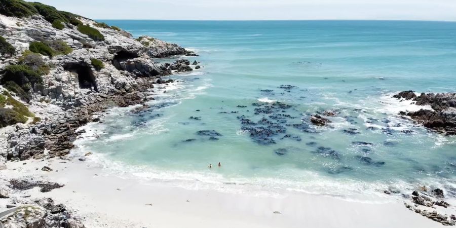
Walker Bay is a picturesque, pristine reserve with an abundance of coastal and marine life. It is known as one of the best spots in South Africa to do land-based whale watching. Every year, hundreds of southern right whales gather in the sheltered bay to breed and calve their young
How to get there
From Cape Town, take the N2, turning off at the Hermanus/R43 off-ramp. Take the R43 past Hermanus, and continue on to Stanford. Visitors can access the reserve through Mierkom at Stanford, De Kelders (Die Plaat), and Uilkraalsmond. Walker Bay Nature Reserve is approximately 160 km from Cape Town. Please note that the Walker Bay office is located in Hermanus, and not at the reserve entrances. Please call ahead to clarify which entrance you must use to access your activity.
De Kelders Gate: 34°32'46.86"S 19°22'43.42"E
Uilkraalsmond Gate: 34°36'22.35"S 19°25'6.75"E
BIRDING
Birders should take along their binoculars to get a closer look at the many seabirds on the reserve. During the summer months, you may see the striking African black oystercatcher. This species is threatened by coastal recreational activities as it breeds on beaches.
HIKING TRAILS & WALKS
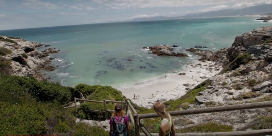
Visitors can enjoy several scenic walks around the reserve, which offer beautiful views of the area and hopefully a few whale sightings!
KLIPGAT CAVE
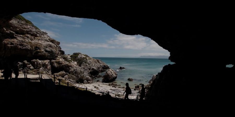
Walker Bay is also historically significant, with records of Middle Stone Age people (65,000 to 85,000 years ago) living in Klipgat Cave. There is also evidence that Khoi and San people lived in the area about 2,000 years ago.
The Klipgat cave, accessible via the De Kelders gate at Walker Bay Nature Reserve, was home to Middle Stone Age and Late Stone Age humans and is one of the most remarkable examples of early human dwellings in South Africa.
Accessible via a boardwalk, and a small amount of rock-hopping, the Klipgat Cave has two chambers. The first has a rocky floor that leads to the sea
To the left of this chamber is a small entryway that leads into the main site of the cave. Featuring a circular boardwalk that takes you on a journey through the historical significance of Klipgat Cave, the site is a reminder of our tremendously rich natural heritage in the Western Cape.
There are also spectacular views of the Walker Bay coastline stretching down to Hermanus in the distance, as seen below
FISHING
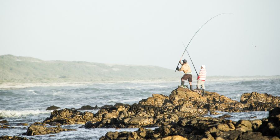
Walker Bay is a popular fishing spot, with galjoen, kabeljou and steenbras inhabiting the area. Angling sites include Galjoenbank, Sopiesklip and Skeurbank.
Marine and coastal management regulations apply to the removal of bait and other marine organisms. Permits for marine angling are available at post offices. A freshwater angling license from Cape Nature is required for angling in the Klein River lagoon and estuary.
Salmonsdam Nature Reserve
Stanford
Reservations
Landline:+27 28 341 0018
Tel: +27 28 425 5020
Website: www.capenature.org.za/nature_reserves/html/salmons.html
- https://openafrica.org/participant/salmonsdam-nature-reserve/
GPS Coordinates
- Latitude: -34.42956542968750000
Longitude: 19.63509941101074200
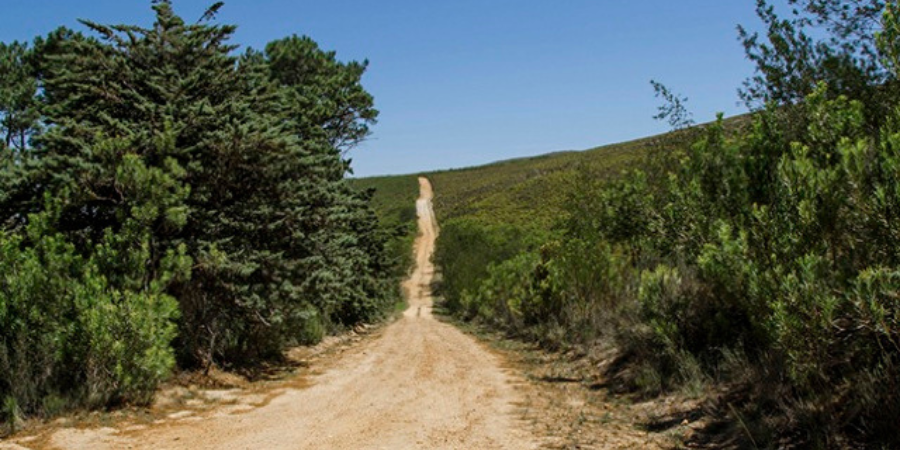
How many people can honestly say that they knew that outside Hermanus is Stanford and that outside Stanford is Salmonsdam, the only reserve in Africa named after a now almost unknown British sea captain? His name was Robert Salmond, and his ship, the iron-sided paddle steamer ‘Birkenhead’, early one morning in February of 1852 struck a rock and sank, with the loss of 454 lives. The then uncharted pinnacle is situated off Danger Point, a peninsula in Walker Bay, not far from Stanford.
BIRDING
Bird-watchers, hikers, and nature lovers have been visiting Salmonsdam since the early 1960’s, as it has always been possible to achieve a feeling of secrecy and repose here.
CAMPING & CABINS
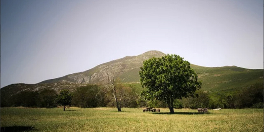
There is nothing fancy about Salmonsdam’s three overnight cabins, situated in an amphitheater at the base of the Perdeberg, though they are adequate. One sleeps eight in three rooms, while the other two sleep four people each in one room. Ten spacious and shady campsites, which might have to be shared with the resident bontebok, are situated below the cabins. They are well kept but have no electricity and share the same ablution block as the two small cabins.
HIKES & WALKS
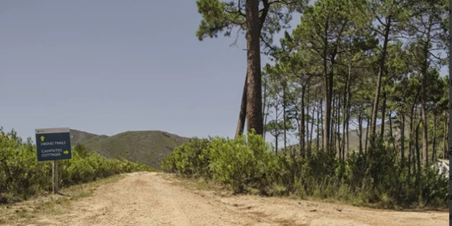
There are three recognized day hikes to choose from – the Mountain, Ravine, and Waterfall trails – none of which require any great degree of fitness or expertise, but are wonderful ways to find rock pools and waterfalls, caves and even Balancing Rock. Visitors should also bring their mountain bikes, as there are plenty of opportunities for riding on existing jeep tracks.
Agulhas National Park
- http://www.sanparks.org/parks/agulhas/
- 028 4356078
- 012 428 9111
Rates & Fees:
1 November 2023 – 31 October 2024
Adults 12+ years
SA Citizens - R55
SADC Nationals – R110
NON SA Citizens – R220
Children 2- 12 years
SA Citizens - R27
SADC Nationals – R55
NON SA Citizens – R110
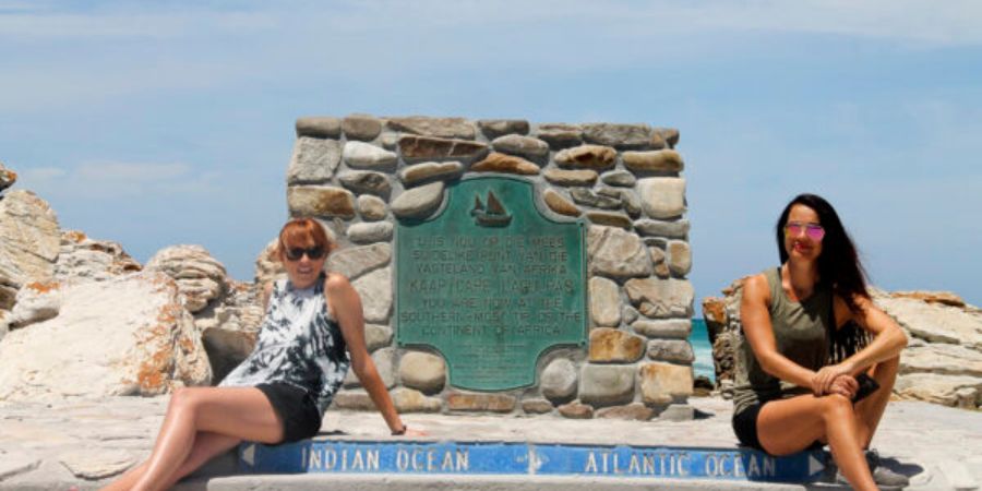
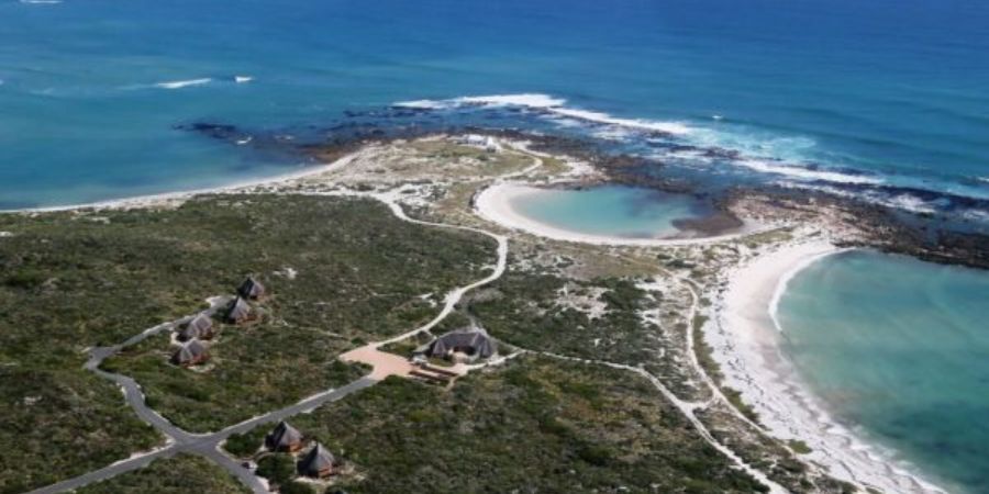
Agulhas National Park is located at Cape Agulhas and encompasses the southernmost tip of the African Continent and the surrounding coastal plain and interior. The park’s most renowned feature is the official meeting point of the Indian and Atlantic Oceans. The result is a coastline of tremendous richness and diversity.
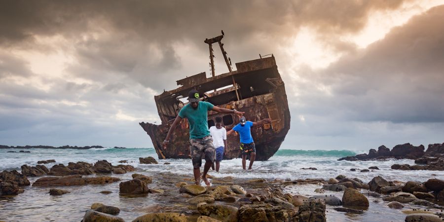
Discover the legendary ‘Cape of Storms’. Stand at the Southernmost tip of Africa, where two oceans meet. Explore the historic Cape Agulhas lighthouse. Marvel at the shipwrecks that dot this rugged, beautiful coastline
Despite being one of South Africa’s smallest national parks, it contains 2,000 native plant species and a wetland that provides habitat for birds and amphibians.
BIRDING
Take a slow drive along the Struisbaai-Elim route and enjoy the vast wealth of bird life in and around the Park, especially at the salt pans and along the wetlands. The Park has exceptional birdlife, including endangered avifauna, such as the African Black Oyster-catcher.
A comprehensive Birding List of the Overberg can be purchased for R10 from the tourist office located below the lighthouse.
Opening Hours are 09:00 – 17:00 (closed between 13:00 – 14:00).
Salt Pans
The Springfield pan was exploited by the Springfield Salt and Farming Company (Pty) Ltd (1914 – 1950). The remains of the concentration and crystallization ponds, production plant, and manager’s homestead are now part of the cultural heritage in the Park and a famous birding spot
HIKING TRAILS & WALKS
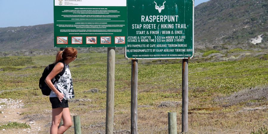
Rasperpunt Hiking Trail (5.5km)
A 5.5km circular hiking trail, with its start/end at the Meisho Maru shipwreck. Experience the coastline, coastal fynbos, ancient fish traps, and freshwater fountains for the first half of the walk. Turn inland, cross the gravel road, and work your way up the ridge with magnificent views of the Rasperpunt rock formations and the coastline.
The route markers are numbered along the route and a self-guide booklet can be purchased at the reception at 214 Main Road, Agulhas.
FISHING
Fishing permits can be purchased from the Struisbaai Post Office at the Struisbaai Mall.
Rock and Deep sea fishing is a favorite pastime for most visitors at the Southern Tip.
Call us and schedule your listing today! Contact Us
Copyright © 2025 Hermanus Online Magazine. Web Development by Jaydee media.

